Like many people, I’ve been missing being able to visit Britain’s beautiful natural landscapes, and the Ordnance Survey’s Instagram feed is one of the channels that has been cheering me up.
Britain’s mapping agency is a household name, with their iconic maps accompanying many of us on our outdoor adventures. Today, 21 June, is a special anniversary for the organisation, being the date now recognised as the birth of the Ordnance Survey.
Strictly speaking, it’s hard to pin down an exact foundation date for the agency. Its roots stretch back into the eighteenth century, though it wasn’t until 1801 that the name ‘Ordnance Survey’ was first used when it was written onto a draft document; it first featured on a printed map in 1810.
But it was during summer 1791 that the ‘Trigonometrical Survey’ – the basis of the first accurate map of Britain – was initiated.
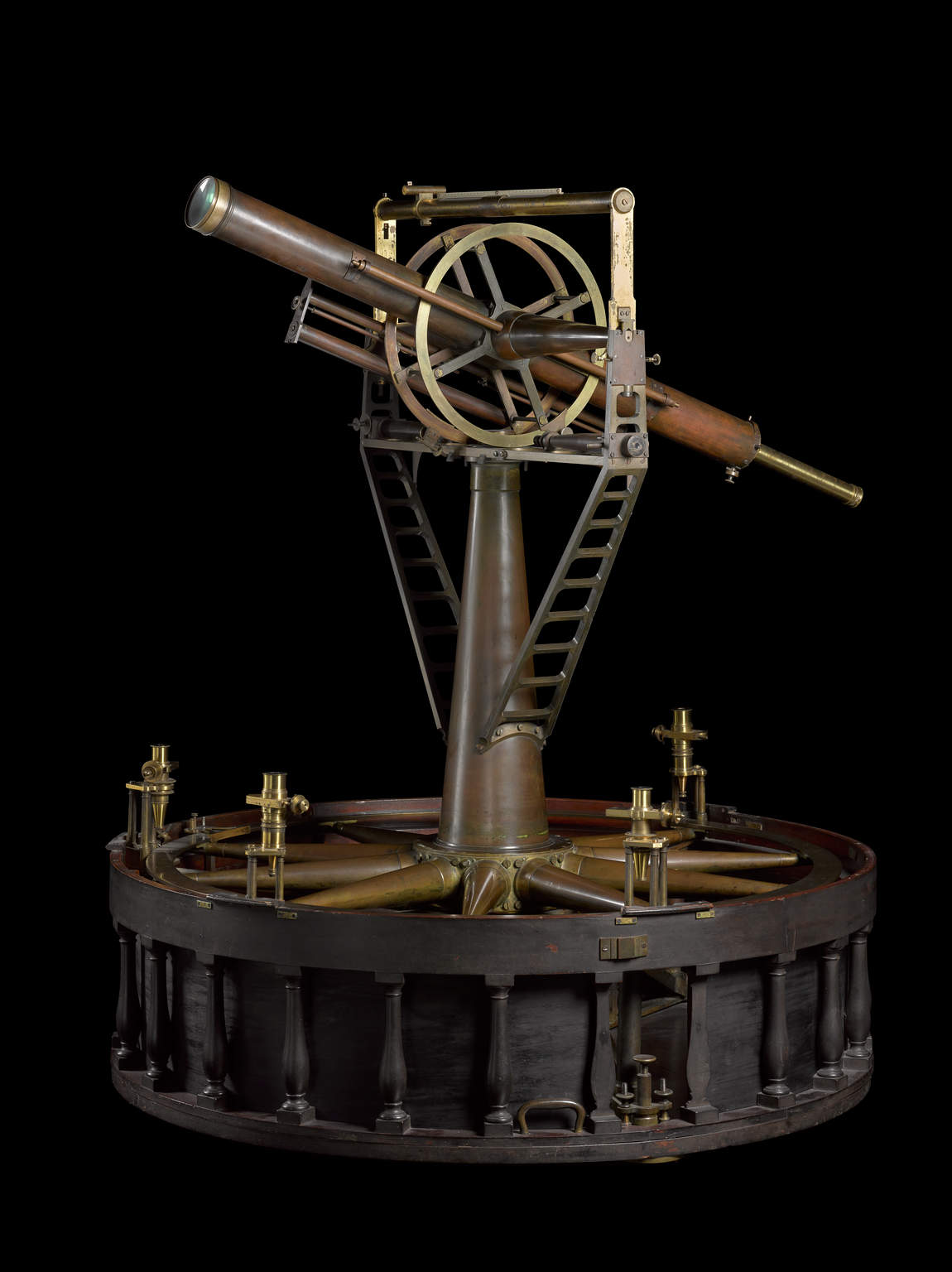
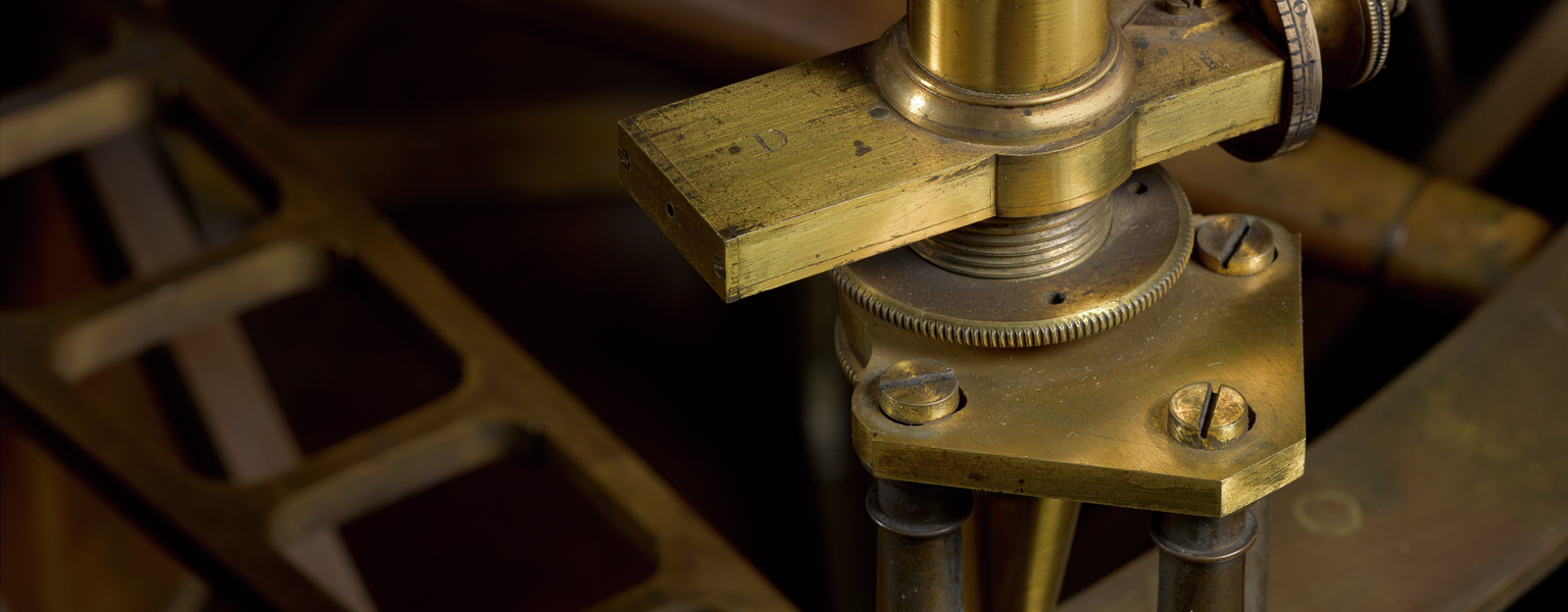
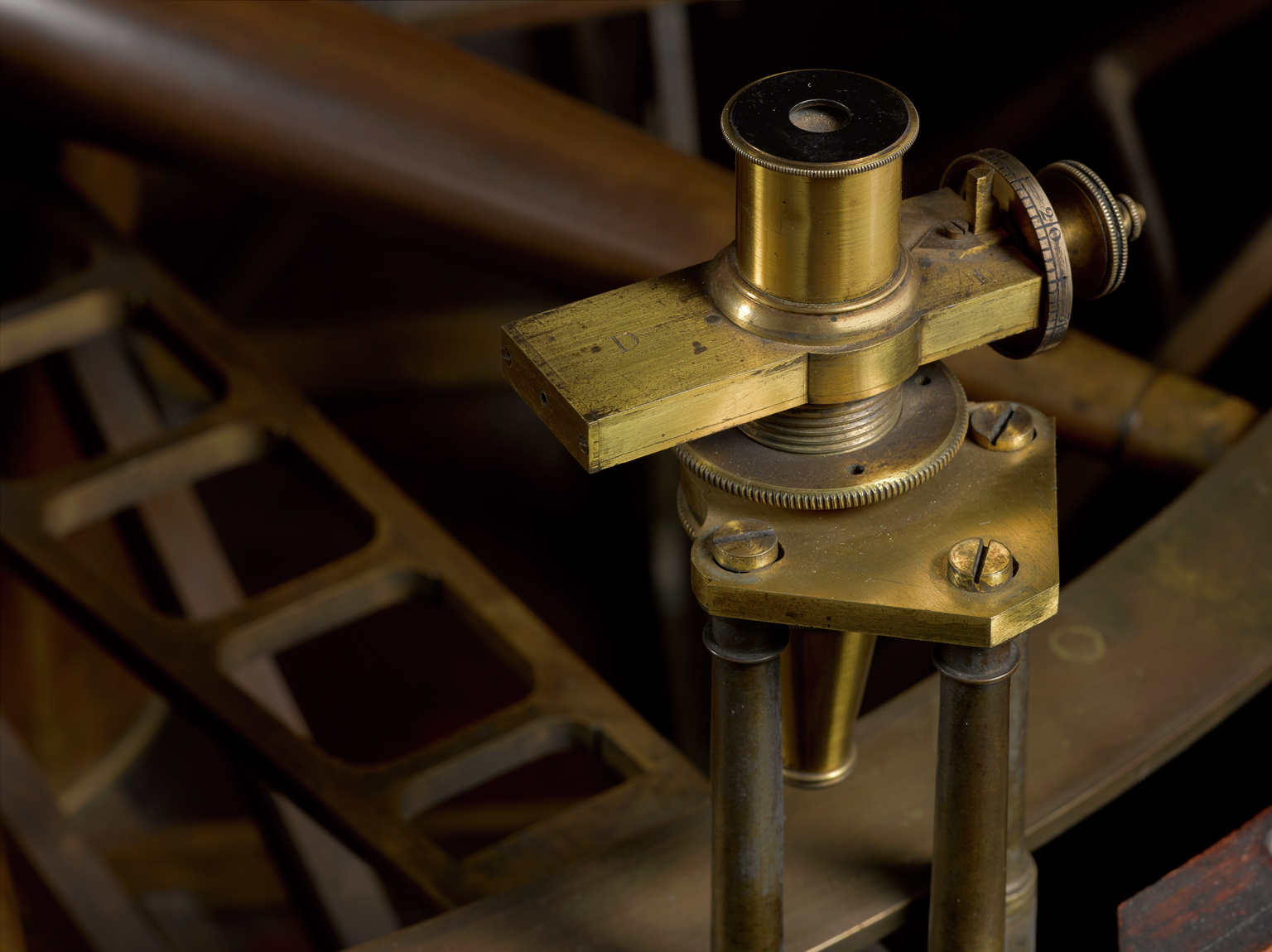
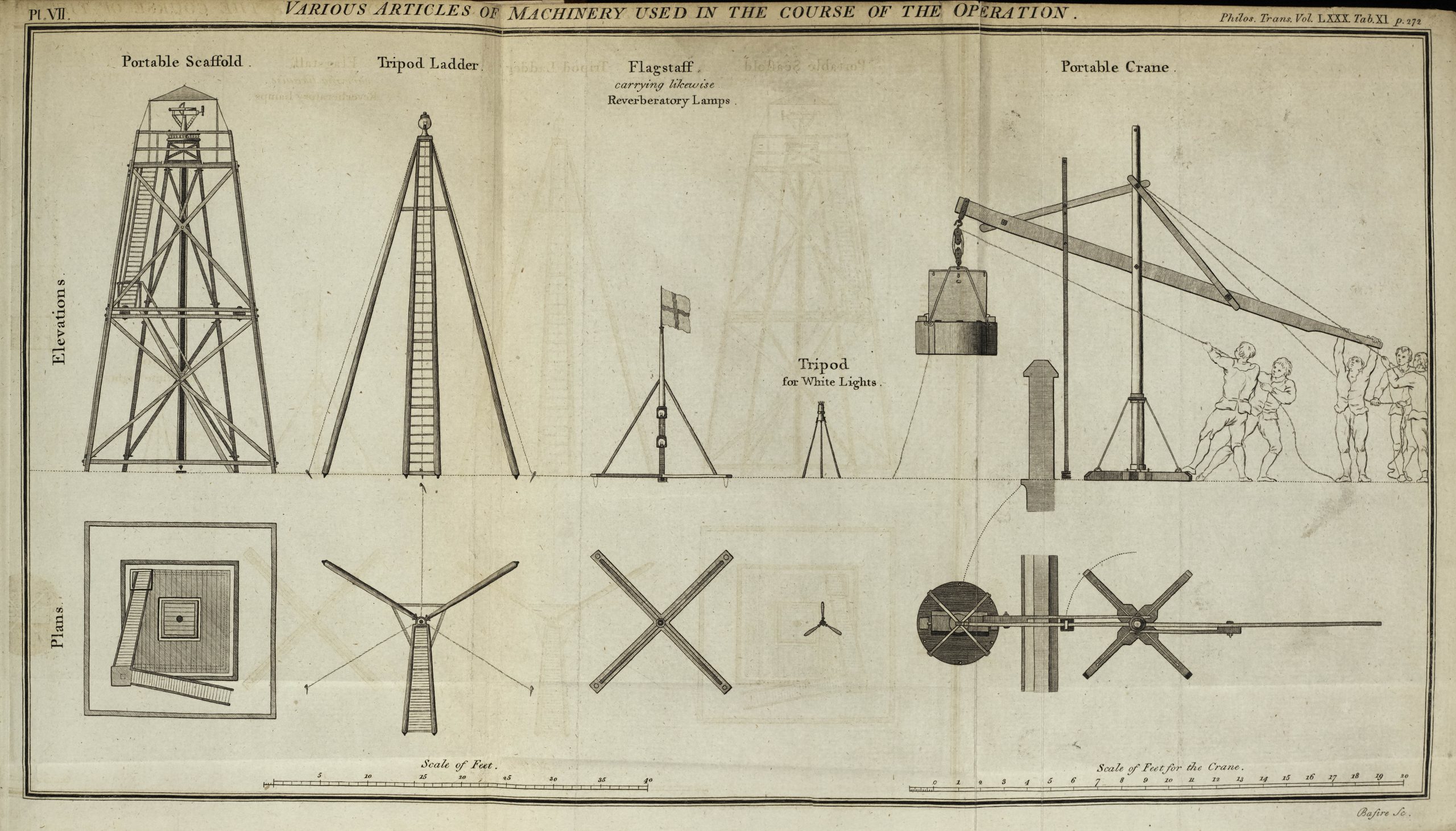
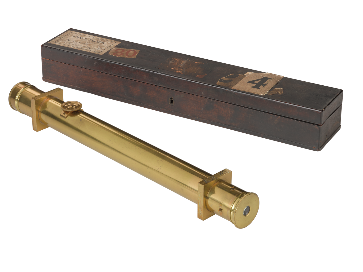
On 21 June 1791 Charles Lennox, the Master-General of the Board of Ordnance, purchased an impressive three-foot theodolite. This instrument, now on display in Science City 1550-1800: The Linbury Gallery, became recognised as the founding act and was central to the survey’s activities for the next 70 years.
Theodolites measure horizontal – and sometimes, like this one, vertical – angles between points on a landscape. They are used for a surveying practice known as triangulation: if you know the length of one side of a triangle, and its internal angles, you can calculate the other two lengths mathematically using trigonometry.
By creating a network of triangles across a landscape and measuring the angles, surveyors can calculate distances over the ground without having to measure them directly.
This theodolite was used to make the measurements that underpinned the first accurate maps of the nation, a project known as the Principal Triangulation of Great Britain. Precision was key, particularly as its users needed to account for the curvature of the Earth in their calculations.
The Ordnance Survey is so-called because it was founded by the Board of Ordnance, the government department responsible for equipping the military. Though many of us perhaps now associate the agency and its maps with leisure, its name serves as a reminder of its origins: having an accurate representation of the nation’s topography was an issue of national security.
The all-important theodolite, however, almost ended up somewhere else entirely.
Jesse Ramsden, one of Britain’s most esteemed makers of mathematical instruments, had been commissioned to construct the theodolite by the East India Company, who hoped to use it for their surveying work in India.
Ramsden, a notorious perfectionist, spent considerable time improving and adjusting the instrument at his workshop in Piccadilly, London, but when he presented the bill to the company they refused to pay the high price he demanded.
Fortunately for Ramsden, Lennox was enthusiastic about the idea of initiating a trigonometrical survey of Britain and seized the opportunity to purchase the instrument for his department.
The theodolite travelled the length and breadth of the country, its 200lb (90 kilogram) bulk transported in its own purpose-built carriage between 1791 and 1858.
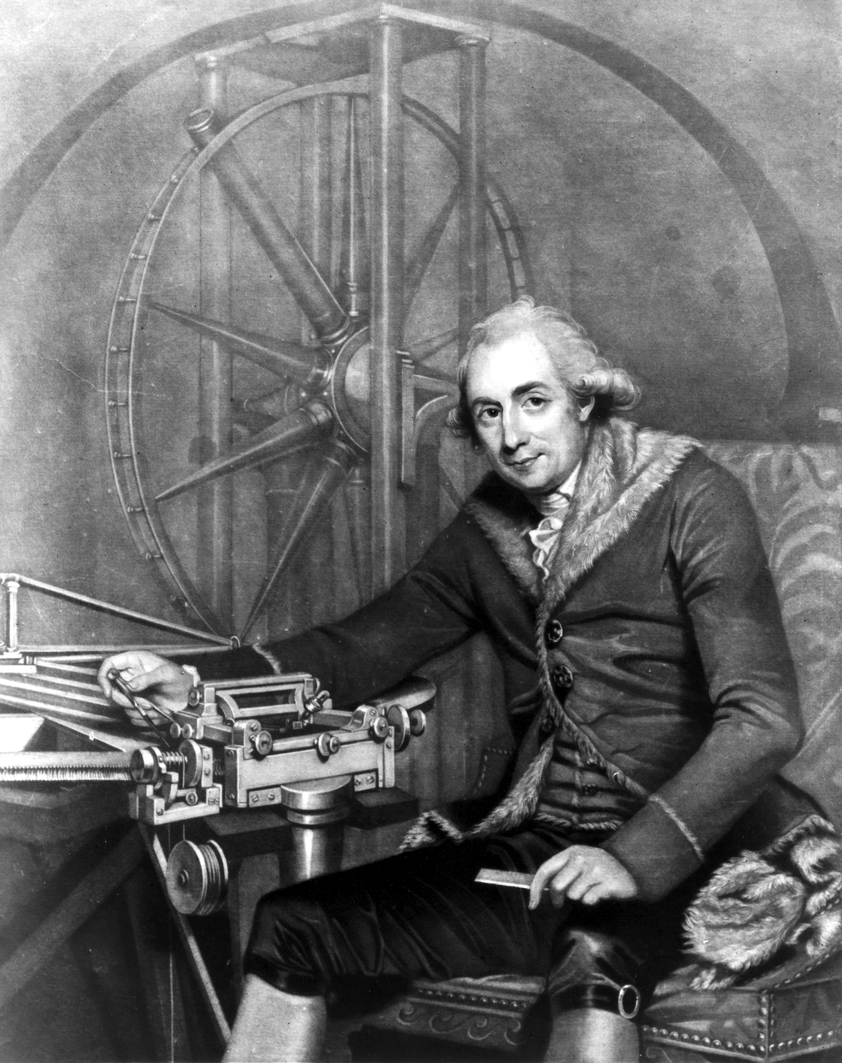
Moving to another object with an Ordnance Survey connection, this scale’s case bears the name of its user, Major-General William Roy. Even though Roy died in 1790 before the Principal Triangulation was underway, he was an enormously important influence upon the fledgeling national survey.
Roy, a military engineer, had led the survey of the Scottish Highlands in the 1740s as the result of a lifelong passion for cartography.
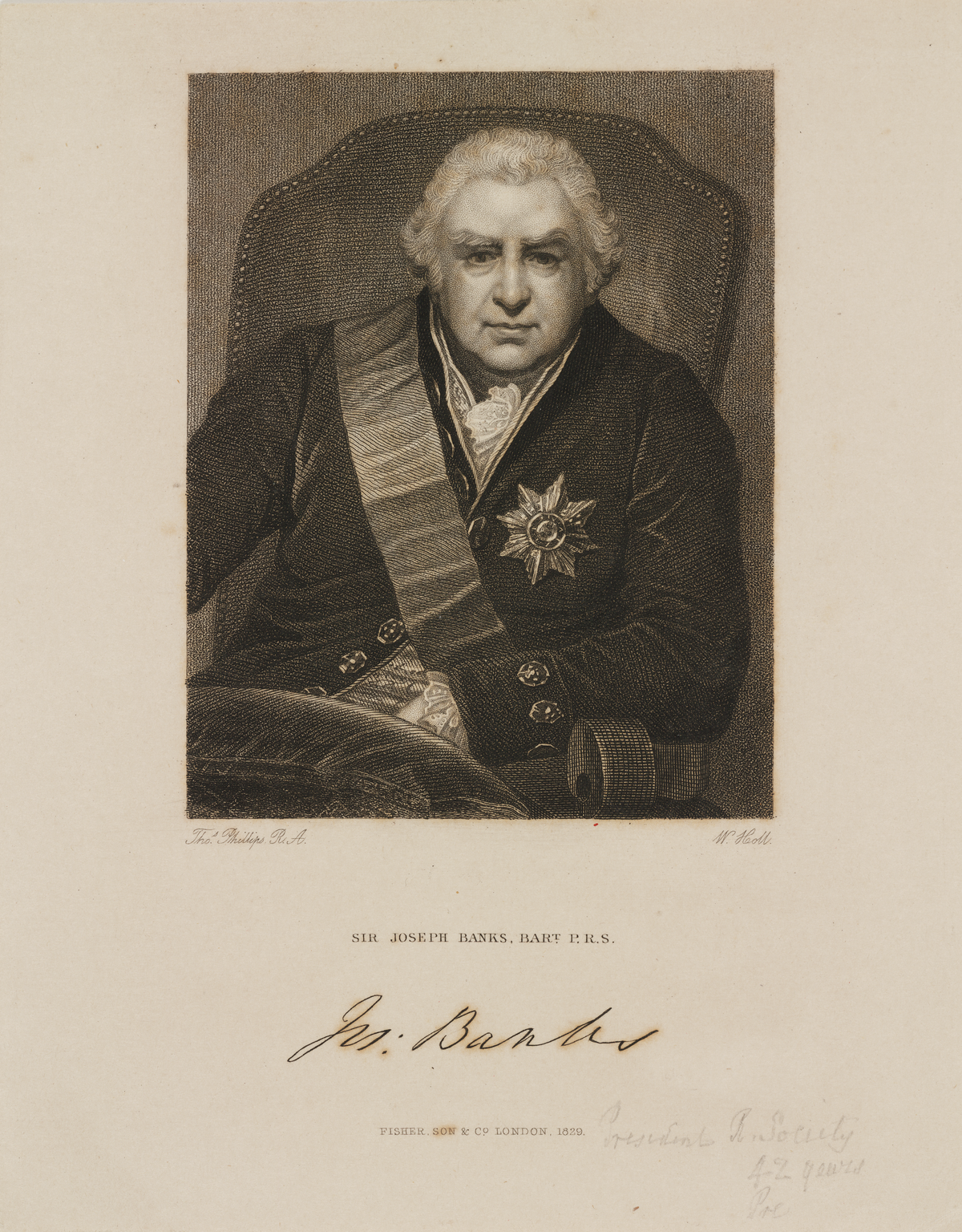
When President of the Royal Society, Joseph Banks, sought a man to lead the British team for a collaborative Anglo-French triangulation project in the 1780s, Roy was the obvious choice. This project, funded by the Royal Society and King George III, began in 1783.
Roy’s first task was to ascertain the accurate measurement of a baseline of which all other distances would be calculated. He chose a stretch of land just over 5 miles long on Hounslow Heath, in an area now mostly occupied by Heathrow Airport. This location was convenient for its proximity to London – which aided administration – and the fact that it was relatively smooth and level. That said, Roy’s team spent considerable time clearing the area of scrubby vegetation and molehills before they could begin their measurement.
A key piece of equipment was a precisely-engineered steel measuring chain. This was constructed by Ramsden, and, true to the maker’s form, only arrived at the site after what Roy described as a ‘tedious delay’.
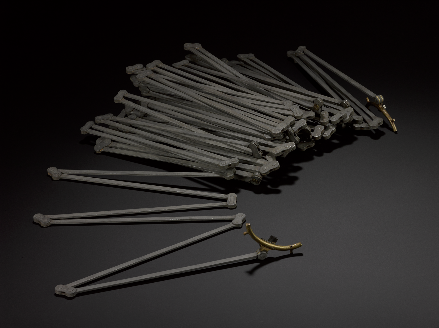
Once it had arrived, Roy and his team set about painstakingly measuring the 5-mile baseline with the chain. After seeing it in action, Roy was impressed with its performance:
‘… This most excellent chain seems not to have suffered any perceptible extension from the use that has hitherto been made of it. It is so accurately constructed, that when stretched out on the ground, as in common use, all the long plates lying vertically or edge-wise, if a person, laying hold of either end with both hands, gives it a flip or jerk, the motion is, in a few seconds, communicated to the other end, in a beautiful vertical serpentine line; when the person, holding that handle, receives a sudden shock, by the weight of the chain pulling him forcibly.’
In the Science City gallery, where these instruments are all displayed, we explore more about the endeavour to accurately map the nation for the first time. We hope you can come to visit them soon, but until then, you can explore other objects on display through our online collection pages.